Filling the Biggest Data Gap
in Water Management
OpenET empowers water management from local to global scales by delivering transparent, scientifically rigorous satellite-based evapotranspiration (ET) data through accessible tools.
Open, Trusted Data Transforms Decision-Making
See how OpenET data is driving innovation—from optimizing on-farm water use to advancing sustainable water management to informing policy at the basin scale.

Advancing Groundwater Sustainability with California DWR & OpenET

Sustainable Water Management for the Ogallala Aquifer

Using Satellite Data to Measure Consumptive Water Use for Irrigation & Water Conservation Programs

OpenET & Water Planning, Data Collection, & Data Dissemination

Support for Precision Irrigation Tools & Optimized Farm Management

Testing Innovative Management Practices for Water Conservation on Pasturelands

Restoring Groundwater Balance & Supply Through Community Planning

Overcoming Measurement Challenges & Streamlining Water Compliance
Built for Impact,
Powered by Transparency
Our methods are transparent, verifiable, and rigorously validated. At its core, OpenET is about solutions—giving farmers, water managers, and communities the tools they need to make decisions.
Our data are openly available and made actionable through easy-to-use tools.
Our partnerships build trust and solutions that scale through genuine collaboration.

OpenET has the potential to play a key role in improving on-farm water management across the West.”


Actionable Data
By making high-resolution evapotranspiration (ET) data widely accessible and easy to use, OpenET empowers growers, water managers, policymakers, and researchers to make smarter, more sustainable decisions. The “open” in OpenET means that the data are publicly available for anyone to use, while still being developed and maintained through a rigorous, science-based process to ensure accuracy and reliability.
Proven, science-backed methods for ET data
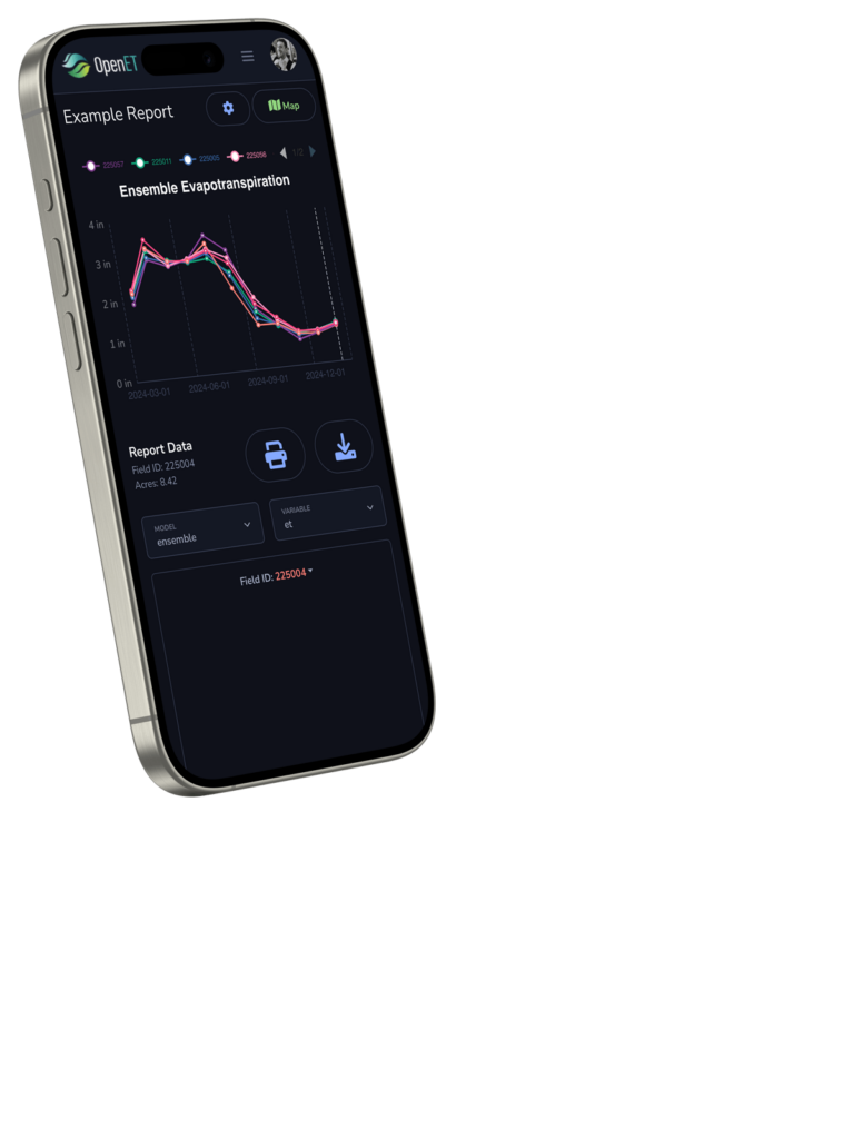
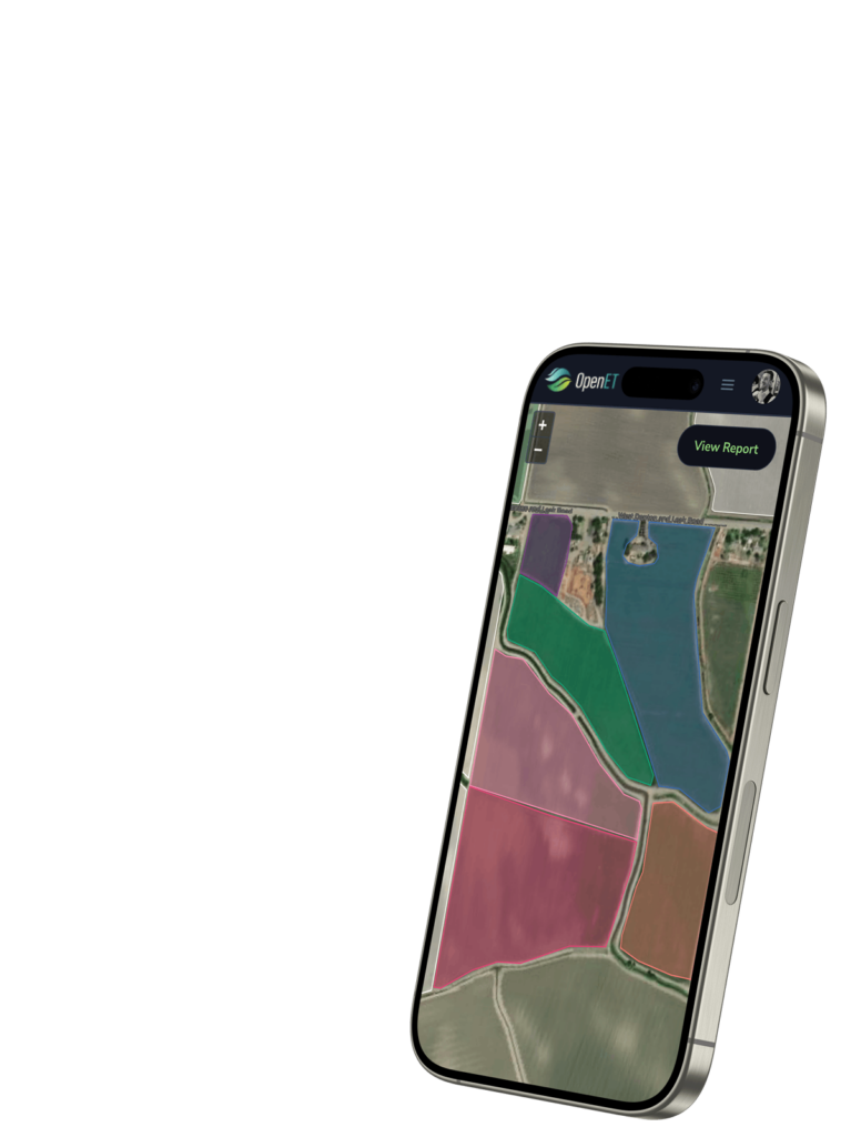
OpenET uses proven, science-backed methods to produce daily, monthly, and annual satellite-based ET data at the field scale (30m x 30m).
Precipitation and vegetation condition
OpenET also provides access to gridded precipitation information and satellite data on vegetation conditions—offering a comprehensive view of key factors that influence water use.
A Collaborative Solution to a Critical Need
OpenET puts the best available science into the hands of those who need it most.
Developed by leading experts in partnership with farmers, water managers, and policymakers, OpenET delivers transparent, field-scale ET data to support real-world water challenges.

Develop smarter
irrigation strategies

Support flexible water conservation
and trading programs

Create balanced
water budgets

Increase groundwater
sustainability efforts
OpenET Consortium Partners


How OpenET Works
OpenET calculates evapotranspiration (ET) using publicly available data and trusted scientific models. Here’s how it all comes together:
- 1We use satellite observations of Land Surface Temperature (LST) and vegetation conditions. We use gridded weather data products, not data from individual weather stations (with the exception of the creation of bias-correction surfaces for reference ET).
- 2This data is fed into calculate ET models to compute field-scale water use.
- 3Daily, monthly, & annual ET data are provided via easy-to-use & reliable tools.
Stay Informed
Sign up for our quarterly newsletter to stay up to date on new data releases, advances, and OpenET community engagement.
Filling the Biggest Data Gap
in Water Management
As we expand globally, our mission remains the same: deliver open, reliable, and actionable water data—developed with users, for users.