Whether you’re a seasoned developer or just starting out, our user-friendly API documentation will guide you through the various endpoints, parameters, and response formats, enabling you to tailor queries to the API to suit your specific needs.
Access to our API continues to be free, though API access is subject to user quotas to balance usage of compute resources across all OpenET users.
Note: High load on the API can lead to access timeouts while an additional server is spun up to accommodate increased demand. If you receive a timeout when using the Access API button below, please try again in a few minutes.
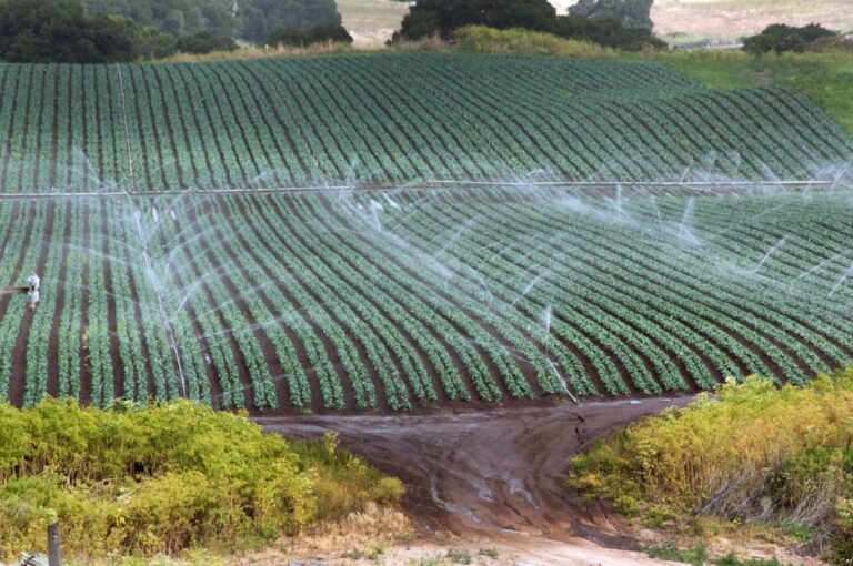
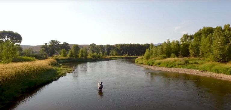
The OpenET API was built to make it easy to integrate ET data into other tools and systems. Users can query ET data using their own field boundaries or areas of interest, generate custom data summaries for specific time periods, and automate data use within irrigation scheduling tools, hydrologic models, water accounting or trading platforms, or other farm and water management applications.
While the Data Explorer interface offers access to a rolling 5–6 year archive, the API unlocks longer-term data retrieval—providing access to 25+ years of data in select regions.
The API provides robust functionality to support innovation by readily integrating OpenET data into new software solutions for water management.
Accessible and Free Data
To ensure fair access and control costs, OpenET sets usage quotas on its free API. These limits manage resources, prevent overuse, and keep high-quality ET data freely available to all.
Acreage per Query
Each request can include up to 50,000 acres.
Multiple Areas
For custom shapefiles (raster queries), a maximum of 50 polygons per query.
Field ID Limit
For queries using OpenET’s geodatabase, up to 100 field IDs per query.
Is it Possible to Retrieve Larger Volumes
of OpenET Data?
For the retrieval of large volumes of data, users are encouraged to retrieve OpenET data directly from the OpenET data archives in the Google Earth Public Data Catalog.
High volume users are encouraged to link a Google Cloud Project ID to their OpenET profile to increase the OpenET API quota limits. Users are still subject to monthly request limits and may still need to break larger queries into smaller units (in terms of spatial area or time period) to avoid memory timeout errors on Earth Engine.
Provides automated access to ET data for large-scale or repeated use. Ideal for integrating ET into irrigation scheduling tools, hydrologic models, water accounting systems, or other applications.
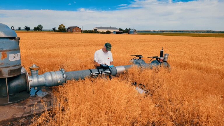
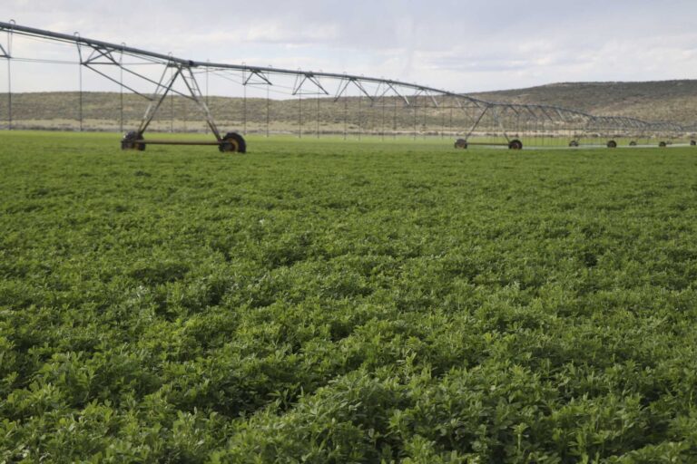
Designed for growers, this tool compares ET with water use at the field level. Reports from FARMS can help users to optimize irrigation efficiency, and support farm-level decision-making.