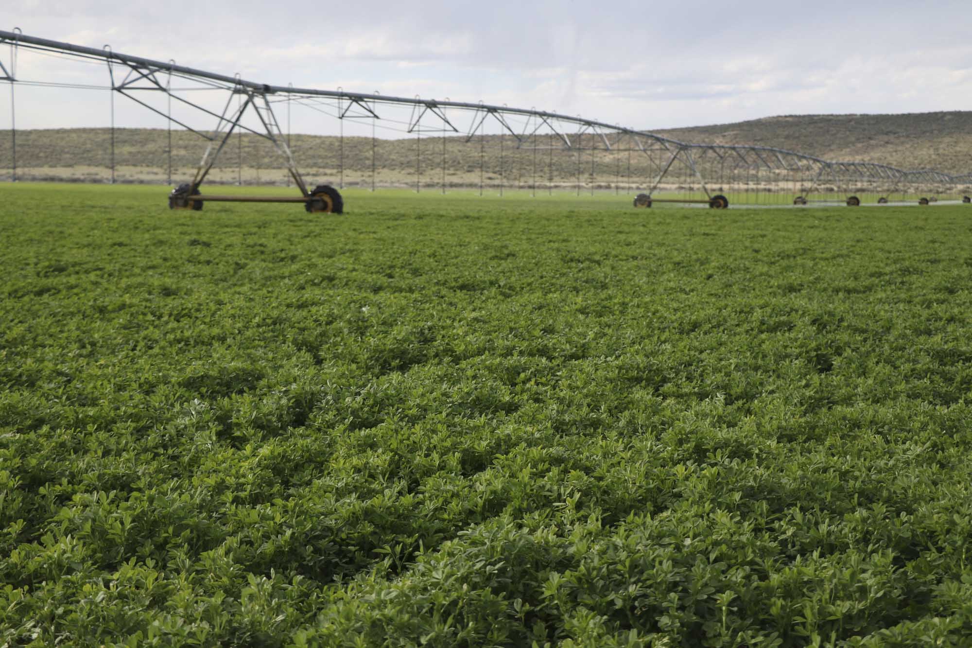
Groundwater level declines in the overallocated Harney Basin in eastern Oregon prompted the Oregon Water Resources Department to designate the basin a groundwater area of concern and close it to new water permits.
A community-based water planning effort uses OpenET data to support innovative approaches to reduce groundwater use while sustaining the basin’s economy and ecosystems. Some approaches require reliable, complete measurement and reporting of past, current, and future water use. Currently, water use measurement data in the Harney Basin exist at only a few locations.
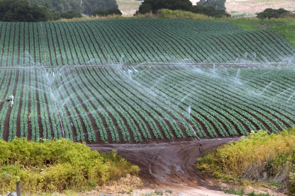
Basin-wide water use measurement can only be done feasibly and economically through a satellite-based approach. Combined with field boundary data from state and federal agencies, OpenET data support quantification of past and current water use and inform forecasts of future use.
In this manner, OpenET supports the community-based effort to balance water supply and demand in the basin and sustain agricultural production for generations to come.