OpenET for Policymakers and Regulators
Sound water policy hinges on credible, timely, and actionable water data. OpenET provides policy-makers and water managers with accurate, shared data on water use based on the best available science to inform governance and decisions about resource management.
OpenET:
- Provides agencies with a transparent and neutral data source based on the best available science that can be used to co-develop solutions with local communities and reduce debate about the numbers used to justify decisions.
- Provides consistent, high-quality data for use by all decision-makers working to manage water supplies across multiple boundaries and jurisdictions.
The OpenET Data Explorer Page provides users a window into the data that can be obtained from the OpenET platform. OpenET has also developed an application programming interface (API), currently being tested in beta for a number of different use cases, that will provide direct and large-scale access to OpenET data for use in various potential management applications.

Using OpenET to Increase Cooperation and Simplify Regulatory Compliance
By providing a common, transparent, and easily accessible source of ET data, OpenET seeks to enable regulators to work with water users to find ways to use ET data to reduce the costs of measuring and reporting water use and to co-create solutions to today’s water challenges.
In California’s Sacramento-San Joaquin Delta, for example, state law requires landowners to measure and report their water diversion and use. However, compliance has proved challenging because metering devices are expensive to buy, difficult to maintain, and unable to provide reliable data in this region. As a result, State regulators and Delta water users have turned to OpenET as the solution: Starting in January 2022, landowners will use OpenET data to meet their water use measurement requirements.

OpenET for Basin-scale Water Budgets and Planning
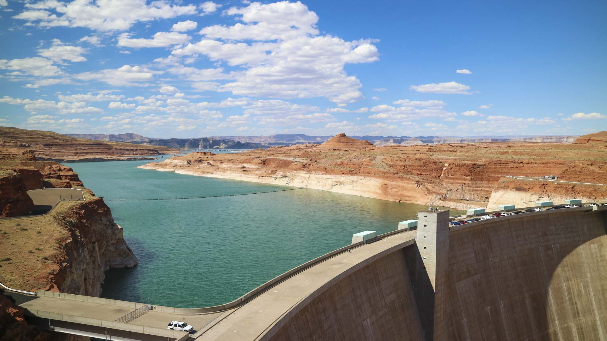
One of the strengths of OpenET is the fact that it provides consistent, high-quality data for use by all decision-makers across the western United States. This is especially helpful when considering large river basins that span many jurisdictions, and are managed by multiple parties and agencies. In the Upper Colorado River Basin, for example, the Bureau of Reclamation and the Upper Colorado River Commission play important roles in managing and administering water. Hydrologically, the upper basin includes parts of Colorado, Wyoming, New Mexico, Utah, and a small portion of the northeastern corner of Arizona.
Every five years, the Bureau of Reclamation is tasked with issuing a report summarizing estimated annual consumptive uses and losses in the Upper Colorado River Basin. Because ET is the primary component of consumptive uses and losses, the Bureau of Reclamation and the Commission are conducting feasibility studies on the use of satellite-based ET data, including OpenET, for improved and operational reporting in the Upper Colorado River Basin. One goal of these studies is to help stakeholders better understand the benefits, accuracy, and limitations of satellite-based ET data, and agree on a consistent and reliable approach for estimating consumptive uses and losses in the basin. OpenET is well positioned to help meet this goal.
Important Considerations
It is important that policymakers and regulators understand how to correctly interpret OpenET data. Any regulatory or incentive program should be developed in close cooperation with local water managers, farmers, and irrigators to ensure such programs are credible, practical, and achieve shared water management objectives without excessive detrimental impacts. OpenET is currently developing a Best Practices Manual to better inform how OpenET data should be used, with links on this and other pages of the site. Please check back over the coming months for updates on the Best Practices Manual.
Important considerations regarding OpenET data in the agricultural context are:
1. The relationship between ET and crop water requirements can be complex.
The relationship between ET and crop water requirements can be complex. For many crops, ET is a key measure of the minimum amount of water that must be replaced during the growing season through irrigation or precipitation to ensure a well-watered crop with maximum yields. OpenET provides data that can help growers track the amount of water that is transferred from the root zone to the atmosphere through ET and manage irrigation to maintain sufficient soil moisture levels. However, in addition to accounting for ET, growers and irrigators must also budget water for crop planting and germination, salinity management, frost protection, cover crops, variability in the soil type, the distribution uniformity of the irrigation system, the timing of availability of water for irrigation, and other factors. As a result, in many situations the total amount of water diverted or pumped and applied for irrigation must equal or exceed ET, even in highly efficient irrigation systems. Conversely, for some crops, deficit irrigation for key periods during crop development can also be important to maximizing crop quality or crop yields. And in some regions, deep rooted perennial crops can also access stored soil moisture or shallow groundwater deep in the root zone, resulting in high yields even when the total amount of water applied for irrigation is well below total ET over the growing season.
2. In the western United States, ET and consumptive use of applied water during the growing season will often be less than the total amount of water diverted or pumped. OpenET data does not identify the source of water being used, or capture the full picture of how water is being applied and used.
OpenET provides information on the total depth or volume of water consumed through ET, but cannot identify the water source (i.e. surface water, groundwater, precipitation), applied irrigation depth or volume, irrigation system type, or amount of water returned to the system. In some cases, just tracking ET and consumptive use through time is sufficient for water accounting applications. For other applications, such as administration of water rights and estimating irrigation withdrawals, other site specific information is needed.
3. ET varies across the landscape as a result of multiple factors.
When evaluating evapotranspiration rates from crops on irrigated land, it is crucial to consider the many factors that may lead to variations across fields and regions, even within the same crop type. These include soil type and texture, salinity, ground cover, the age of an orchard or vineyard, irrigation system type, distribution uniformity, production goals, fertilizer, pest and pathogen management considerations, and other factors.
4. ET information has only recently become widely available to farmers and irrigators. In the past, ET data has been difficult for most farmers and irrigators to access. There is rapidly growing interest in the use of ET-based irrigation management strategies, and a range of software applications are currently being developed. However, farmers and irrigators must be allowed adequate time to evaluate and test these tools, provide feedback to the developers, and gain confidence in their accuracy and utility before being asked to fully integrate them into their operations.
5. OpenET data are not direct measurements of ET
While data from OpenET are generally expected to be accurate and consistent, they do not represent direct measurements of ET; rather OpenET data are calculated using state-of-the-art ET models driven with publicly available satellite, meteorological, soil, and vegetation datasets as inputs. These data and models have limitations, particularly during times of consistent and dense cloud cover, and within complex topography. For these reasons, it is important to consider data from OpenET as ‘rebuttable estimates’, especially in any process pertaining to administration of water rights.
6. The crop type information available on this site is from publicly available datasets, and does not affect the accuracy of the ensemble ET value, or the five models that use thermal infrared data as an input for calculation of ET
Crop type information available through the Data Explorer is not generated by OpenET, and is not used as an input for five of the models on the OpenET platform (ALEXI/DisALEXI, eeMETRIC, geeSEBAL, PT-JPL, SSEBop). As such, crop type information does not meaningfully affect the accuracy of the ensemble ET value. Crop type information is derived from publicly available datasets, which often lag 6-12 months or more behind the current growing season, and thus may not always accurately reflect the current crop. Crop type information is provided to assist with interpretation of ET values. Outside of California, all crop type information is derived from the USDA Cropland Data Layer. Crop type information for California for 2016 and 2018 is based on the CA Department of Water Resources (DWR) Land Cover database developed by LandIQ. Data for annual crops for California for all other years are from the USDA Cropland Data Layer; this data has lower classification accuracies for many of the specialty crops grown in California.
The sixth model, SIMS, does use crop type information to separate annual and perennial crops, and to adjust model parameters for stomatal resistance and maximum crop height for perennial crops. However, errors in crop type classification for annual crops don’t affect the SIMS ET calculations, and the crop-specific adjustments for perennial crops usually have a small influence on SIMS ET relative to other inputs. In cases where crop type errors do have an effect on SIMS ET data (e.g., misclassification of a perennial crop as an annual crop), SIMS is typically flagged as an outlier and removed from the ensemble prior to calculation of the ensemble ET value.