The Farm and Ranch Management Support (FARMS) system is a user-friendly interface from OpenET that makes accessing and using ET data simpler than ever—on any device, including mobile. FARMS provides an intuitive way to generate customizable reports, allowing users to draw valuable insights for streamlined agricultural planning. For enhanced efficiency, FARMS also enables you to easily submit and manage recurring reports.
The FARMS tool from OpenET makes accessing ET data fast, easy, and mobile-friendly. Whether you’re in the field or at your desk, FARMS helps you make informed decisions—powered by science, tailored to agriculture.
Mobile-ready interface for easy use on phones, tablets, or desktops
Recurring report builder to track data over specific timeframes and fields
Flexible boundary selection—upload, draw, or select from a database
Downloadable reports in CSV or PDF formats
Private or shareable reports with optional password protection
How to Use the FARMS Tool
1 Log In & Get Your API Key
Sign in to your OpenET account. You’ll need an API key to use FARMS—generate one in your user profile.
2Add Your Fields
Define your area of interest by uploading a shapefile or GeoJSON, drawing shapes, or selecting fields.
3Create a Report
Choose your time period, ET model and other variables. Initiate the report generation by hitting the “Save Report” button.
4 View & Download Your Data
Once your report is ready, view results for each field, compare across fields, and download data as a CSV or PDF. Reports can be made public allowing users to share a link to the report with colleaugues.
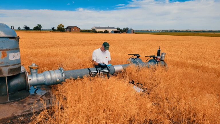
Provides automated access to ET data for large-scale or repeated use. Ideal for integrating ET into irrigation scheduling tools, hydrologic models, water accounting systems, or other applications.
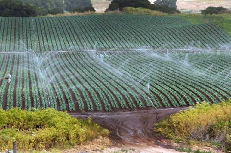
Designed for growers, this tool compares ET with water use at the field level. Reports from FARMS can help users to optimize irrigation efficiency, and support farm-level decision-making.