
How to Access & Use
ET Data from OpenET
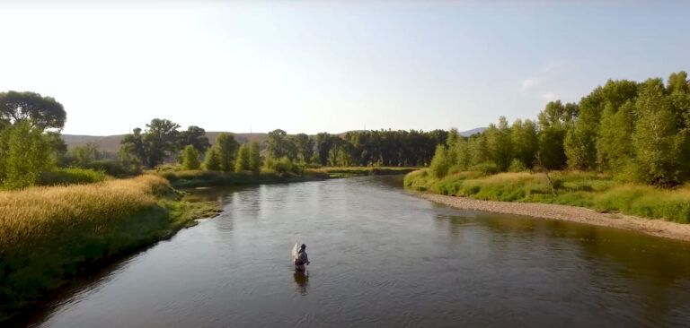
OpenET makes it easier than ever to access satellite-based evapotranspiration (ET) data and is helping users manage water more efficiently and sustainably at every scale, from individual farms to entire watersheds.
This page walks you through how to access ET data using OpenET’s Data Explorer and API, provides important context and limitations, and links to real-world Impact Stories that show how OpenET is making a difference. It also provides a primer on using OpenET’s Farm and Ranch Management System (FARMS) Tool to gain a more customized, detailed understanding of ET, empowering farmers and water districts like never before.

Step 1
Choose Your Access Tool
Getting Started: Create An Account
To access the OpenET data, you'll first need to sign up for a free account.
Option 1: Use the Data Explorer
Data Explorer is a visual tool for viewing/downloading ET data by area, used for exploring patterns and exporting results.
Option 2: Use the API
The API allows automated, large-scale ET data access for integration with irrigation tools, models, or custom applications.
Option 3: FARMS
FARMS generates custom ET reports on any device. It lets you define fields, select time periods, and create downloadable reports.
Step 2
Understand What You’re Accessing
What OpenET Measures
OpenET provides primarily actual ET, showing water lost to the atmosphere, and reference ET (ETo) from a well-watered grass surface for irrigation planning.
Data Sources & Accuracy
ET estimates come from multiple models using satellite and weather data. They’re generally reliable but less accurate in cloudy or complex terrain.
Limitations & Crop Type Data
Crop type data in the Data Explorer are to assist with interpretation, may lag 6–12 months, and are gathered from a variety of public sources. Generally, crop type does not have a significant impact on the ensemble and the five ET models that use thermal data. The SIMS model does use crop type to distinguish between annual and perennial crops and to fine-tune perennials. Mistakes in crop type for annuals don’t affect SIMS ET results, and the adjustments for perennials usually have only a small effect. In rare cases where crop type errors do affect SIMS ET, the SIMS results are flagged as outliers and excluded before the ensemble ET value is calculated.
Step 3
Use ET Data in Practice
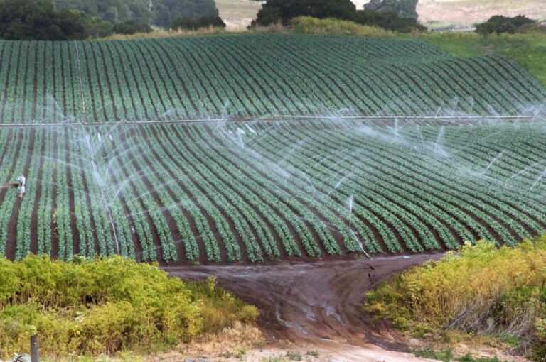
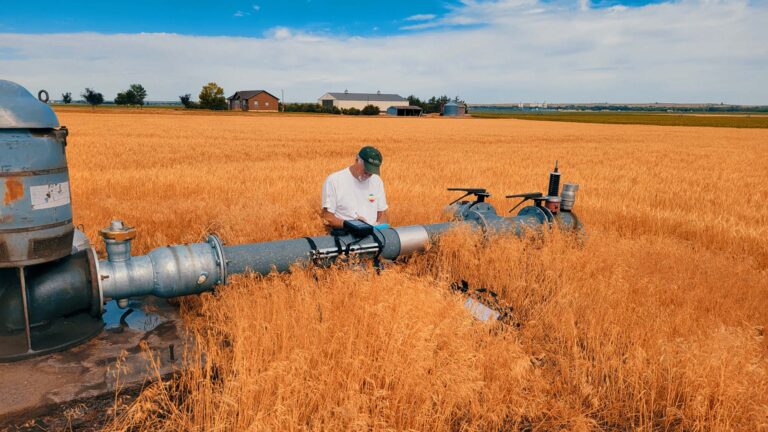
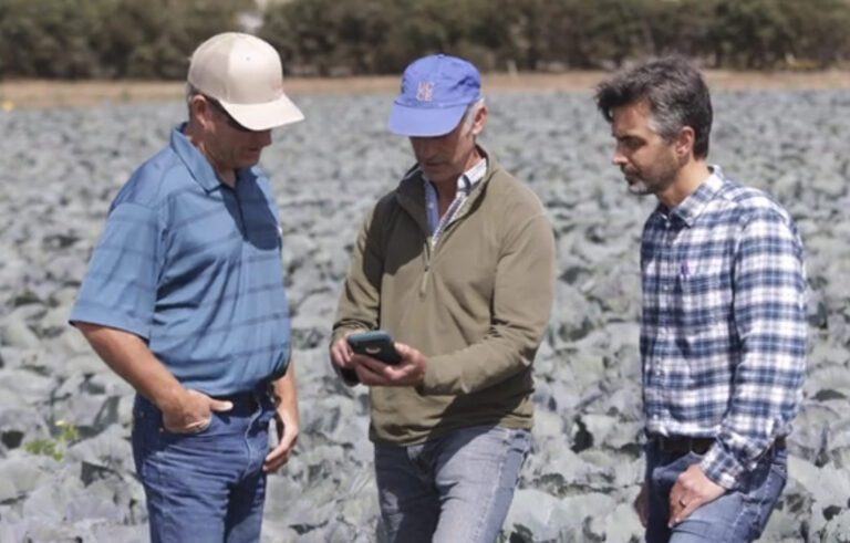
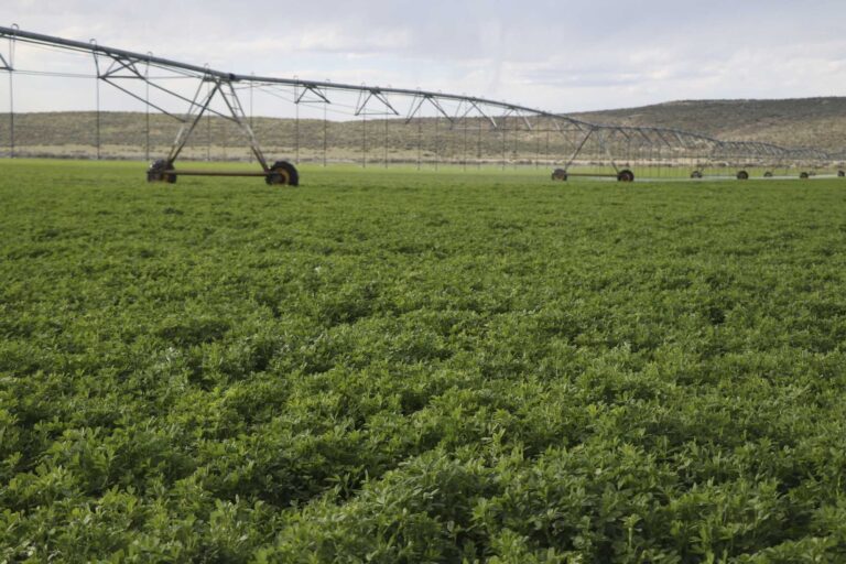
Growers can use ET to
Optimize irrigation and operations to improve yields and reduce input costs.
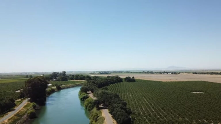
Water managers can develop
More accurate water budgets and design conservation programs.
Interested communities can develop and support
Local water conservation programs and more transparent water trading or aquifer recharge initiatives.
Policymakers can support
Smart regulations and community-based planning.
See How Others are Using OpenET Data
Advancing Groundwater Sustainability with California DWR & OpenET
Using Satellite Data to Measure Consumptive Water Use for Irrigation & Water Conservation Programs
Overcoming Measurement Challenges & Streamlining Water Compliance
Sustainable Water Management for the Ogallala Aquifer
Testing Innovative Management Practices for Water Conservation on Pasturelands

OpenET & Water Planning, Data Collection, & Data Dissemination
Support for Precision Irrigation Tools & Optimized Farm Management
Restoring Groundwater Balance & Supply Through Community Planning
OpenET is Committed to Transparency
Learn More About OpenET Science
Data Methods
Information about the models, input datasets, and compute resources used by OpenET.
Accuracy & Known Issues
Field-scale accuracy assessments and known issues that impact OpenET data.
Literature & Research
Browse published papers and articles about ET data and use, along with OpenET past and current research.
Filling the Biggest Data Gap
in Water Management
As we expand globally, our mission remains the same: deliver open, reliable, and actionable water data—developed with users, for users.