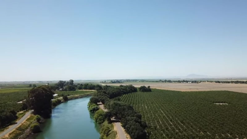
Farmers in the Sacramento-San Joaquin Delta have been challenged to comply with a California law requiring accurate measurement and reporting of water diversions.
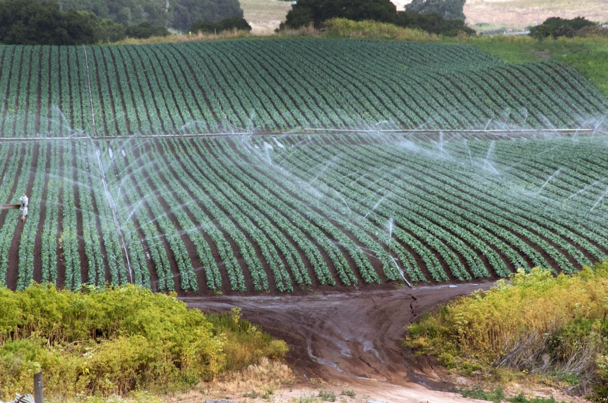
Within the tidal Delta, much agricultural land lies below sea level, protected by levees. Water is pumped or siphoned from surrounding channels to irrigate these productive lands.
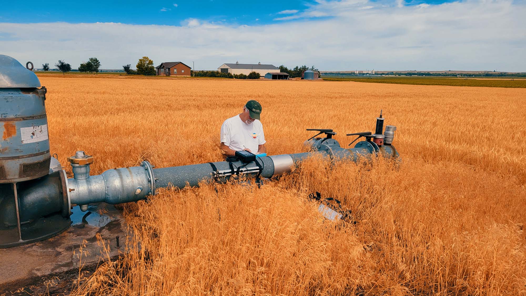
Measuring diversions through siphons is particularly difficult due to internal turbulence, dynamic tidal fluctuations, and ingested debris. Current ground-based measurement methods are expensive, unreliable, and prone to mechanical failure and operator error.
To address this challenge, diverse members of the Delta water community — including regulators, farmers, exporters, environmental non-profits, and water districts — came together to develop an alternative method of compliance.
They agreed to rely on OpenET as a cheaper, more consistent, and reliable data source for near-real-time measurement of crop consumptive use at the field level.