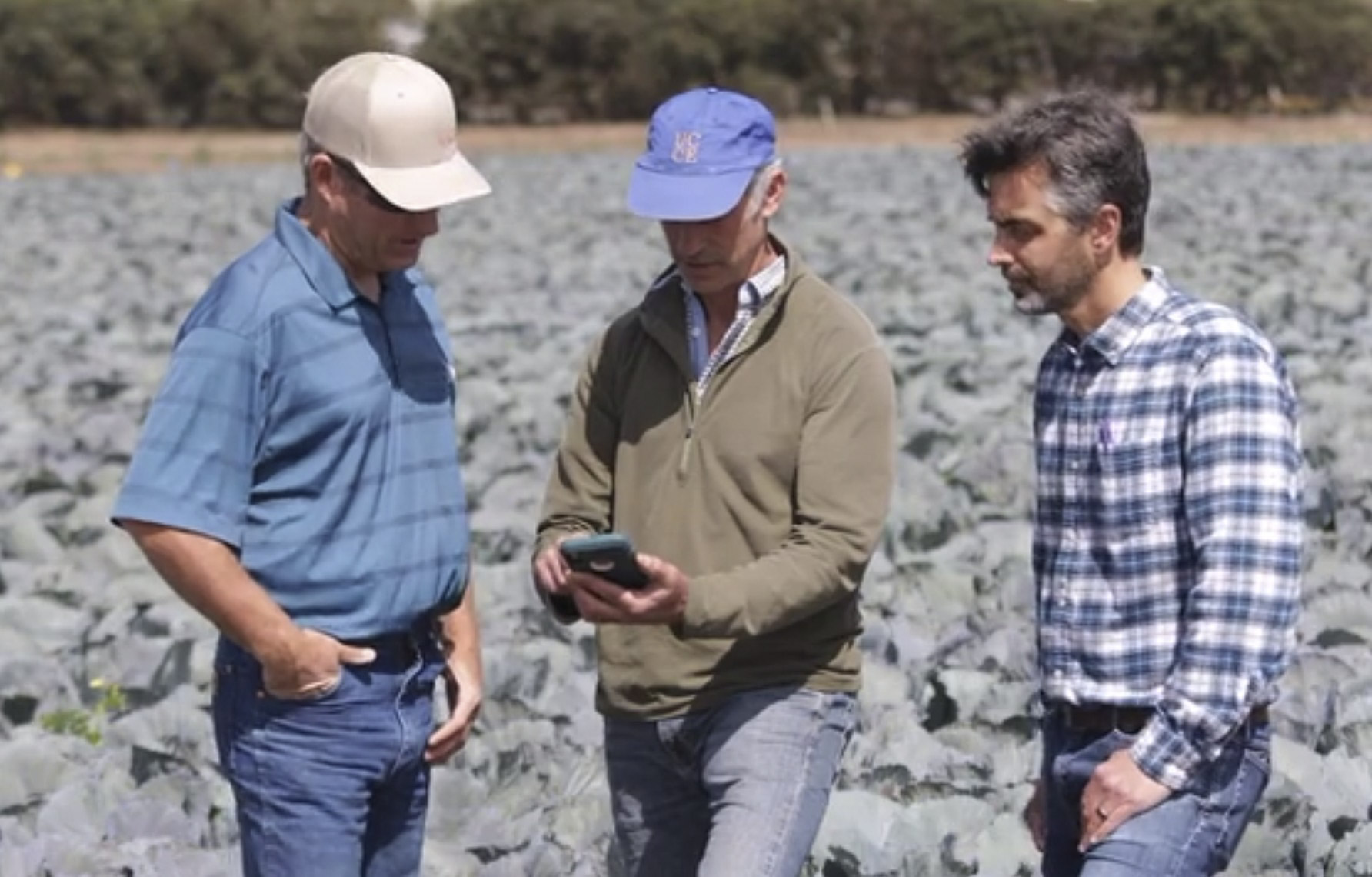
OpenET is working with partners in California to integrate data from OpenET into existing software tools for irrigation and nutrient management. In the California Central Coast, collaborators with the University of California Agriculture and Natural Resources (UCANR) Division are integrating data from OpenET into CropManage, a software tool that provides irrigation and nutrient management recommendations for more than a dozen high value specialty crops. CropManage automates many of the calculations required to use ET data for scheduling irrigation activities, and helps users account for irrigation system type and application rate, distribution uniformity, soil type, and salinity management considerations. Data from OpenET helps CropManage account for field-to-field and year-by-year variability in crop conditions. Field trials conducted with CropManage have shown that ET-based irrigation management can reduce applied water by 15-40% across various crops while maintaining crop yields.
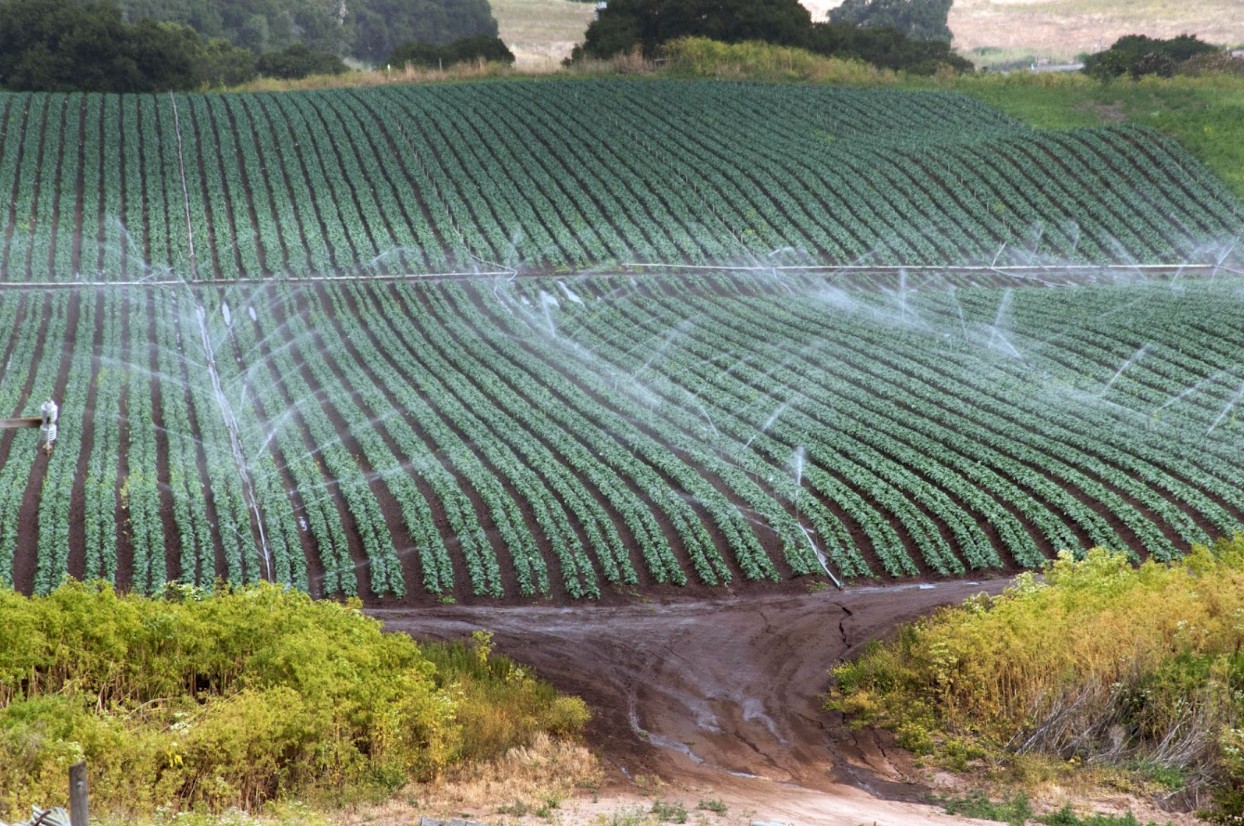
Similarly, Gallo has been working closely with OpenET team members from the U.S. Department of Agriculture (USDA) Agricultural Research Service (ARS) to develop satellite-based tools for mapping ET and using these data to inform irrigation management for vineyards across California. Gallo and USDA ARS are collaborating on the development of Grape Remote-Sensing Atmospheric Profile and Evapotranspiration eXperiment (GRAPEX), an ET-based toolbox that incorporates data from OpenET to make it easier for vineyard managers and irrigators to account for recent and forecasted ET when making irrigation management decisions.
“GRAPEX grew out of our desire to harness the power of the remote-sensing data provided by Landsat satellites,” says Nick Dokoozlian, vice president of viticulture, chemistry, and enology at Gallo, referring to the land-imaging satellites developed in a partnership between NASA and the U.S. Geological Survey (USGS) for over 40 years. “It’s grown into a highly cross-functional, multidisciplinary project that’s far exceeded anything I could have imagined when we started.”
Through these partnerships, OpenET is demonstrating the impact of using open data services to integrate satellite-based ET information into existing software tools used by growers, and ensuring that information is accessible to users in the field, where and when it is needed most.