OpenET Data Explorer

How to Use the
Data Explorer

OpenET’s Data Explorer provides easy access to ET data, helping water managers, farmers, and researchers better understand water use across agricultural and natural landscapes.

Key Features of the Data Explorer

With OpenET, you can visualize, analyze, and download data to support informed water management decisions.

Interactive maps with data overlays

View maps of ET from different years

Toggle views between field summaries and ET data at 30m spatial resolution

Downloadable data files in CSV format

View time series or cumulative total ET

How to Use the OpenET Data Explorer

1 Open the Tool

Visit explore.etdata.org to access the interactive map.

2Choose How You Want to View Data

Choose either the Field Boundary or Raster view.

3 Pick Your Area

Search for a location or draw your area directly on the map.

4 Set the Date Range

Select the year or time period you’re interested in.

5 Explore the Data

View ET layers and use the legend and tools to explore. Click the Download button to save graphs and timeseries data.

Tips for Best Results

Zoom in for field-scale data and adjust the opacity to view the satellite base map

Use the comparison tool to see changes over seasons or years

Check metadata for details on
data sources and resolution

Advancing Groundwater Sustainability with California DWR & OpenET

California

Using Satellite Data to Measure Consumptive Water Use for Irrigation & Water Conservation Programs

Upper Colorado River Basin

Overcoming Measurement Challenges & Streamlining Water Compliance

Sacramento-San Joaquin Delta, California

Sustainable Water Management for the Ogallala Aquifer

Twin Platte Natural Resources District, West Central Nebraska

Testing Innovative Management Practices for Water Conservation on Pasturelands

Kremmling, Colorado

OpenET & Water Planning, Data Collection, & Data Dissemination

Texas

Support for Precision Irrigation Tools & Optimized Farm Management

California Central Coast

Restoring Groundwater Balance & Supply Through Community Planning

Harney County, Oregon

Filling the Biggest Data Gap
in Water Management

As we expand globally, our mission remains the same: deliver open, reliable, and actionable water data—developed with users, for users.

Compare OpenET Tools

Data Explorer

A user-friendly, visual tool for quickly exploring ET data. You can select areas of interest, view historical patterns, and download results.

API

Provides automated access to ET data for large-scale or repeated use. Ideal for integrating ET into irrigation scheduling tools, hydrologic models, water accounting systems, or other applications.

FARMS Tool

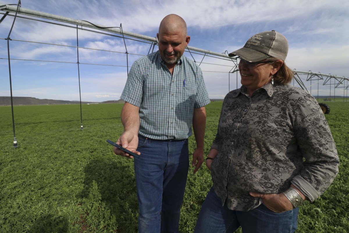
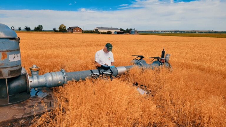
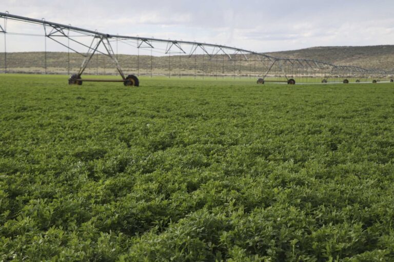
Designed for growers, this tool compares ET with water use at the field level. Reports from FARMS can help users to optimize irrigation efficiency, and support farm-level decision-making.