OpenET for Growers

Explore Stories from the Field

OpenET is helping farmers and ranchers make more informed decisions about water use— improving crop management, increasing yields, conserving resources, and building resilience to drought. This page highlights real-world stories of how growers are using OpenET data on the ground, from fine-tuning irrigation to participating in water trading and conservation programs.

Using Satellite Data to Measure Consumptive Water Use for Irrigation & Water Conservation Programs

Upper Colorado River Basin

Support for Precision Irrigation Tools & Optimized Farm Management

California Central Coast

Testing Innovative Management Practices for Water Conservation on Pasturelands

Kremmling, Colorado

Overcoming Measurement Challenges & Streamlining Water Compliance

Sacramento-San Joaquin Delta, California

Maria Zamora ReExtension Irrigation Specialist @ Oregon State University

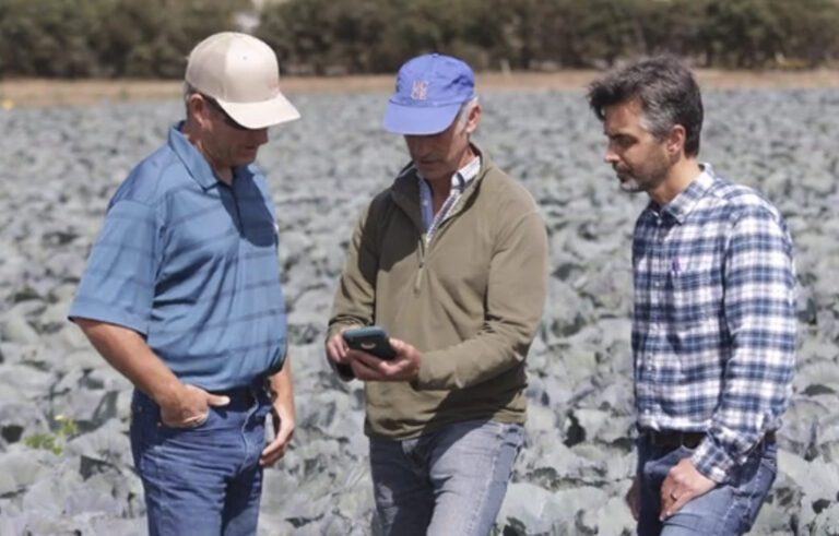
“OpenET’s ability to provide large-scale, spatially rich ET data helps us better understand crop water use patterns across diverse cropping systems. By combining OpenET with local soil, crop, and weather data, we’re working to build tools that support near real-time, practical decision-making in the field. OpenET has the potential to play a key role in improving on-farm water management across the West.”

Dwane RothFourth-generation Kansas Farmer (semiretired)

“OpenET provides real-time insights into crop water use that farmers have never had before. When combined with soil-moisture probes, it helps producers grow more with less water — a game-changer for the next generation of agriculture.”

Learn More About OpenET Science

Data Methods

Information about the models, input datasets, and compute resources used by OpenET.

Accuracy & Known Issues

Field-scale accuracy assessments and known issues that impact OpenET data.

Literature & Research

Browse published papers about OpenET data and associated research.

Filling the Biggest Data Gap
in Water Management

As we expand globally, our mission remains the same: deliver open, reliable, and actionable water data—developed with users, for users.