
OpenET-Brazil
Advancing field-scale evapotranspiration for water security in Brazil.
OpenET-Brazil extends the OpenET approach to Brazil, delivering transparent, satellite-based evapotranspiration (ET) data at field scale to support water management, sustainable agriculture, and climate resilience across the country.
Connecting Water + Agriculture + Energy Through Evapotranspiration
In Brazil, water connects the food we grow, the clean energy we generate, and the health of our ecosystems, and a changing climate is putting these connections under growing pressure. OpenET-Brazil brings OpenET’s field-scale ET data to one of the world’s largest agricultural producers, helping decision-makers see how water is used and how much water is available, balancing competing demands.







Water
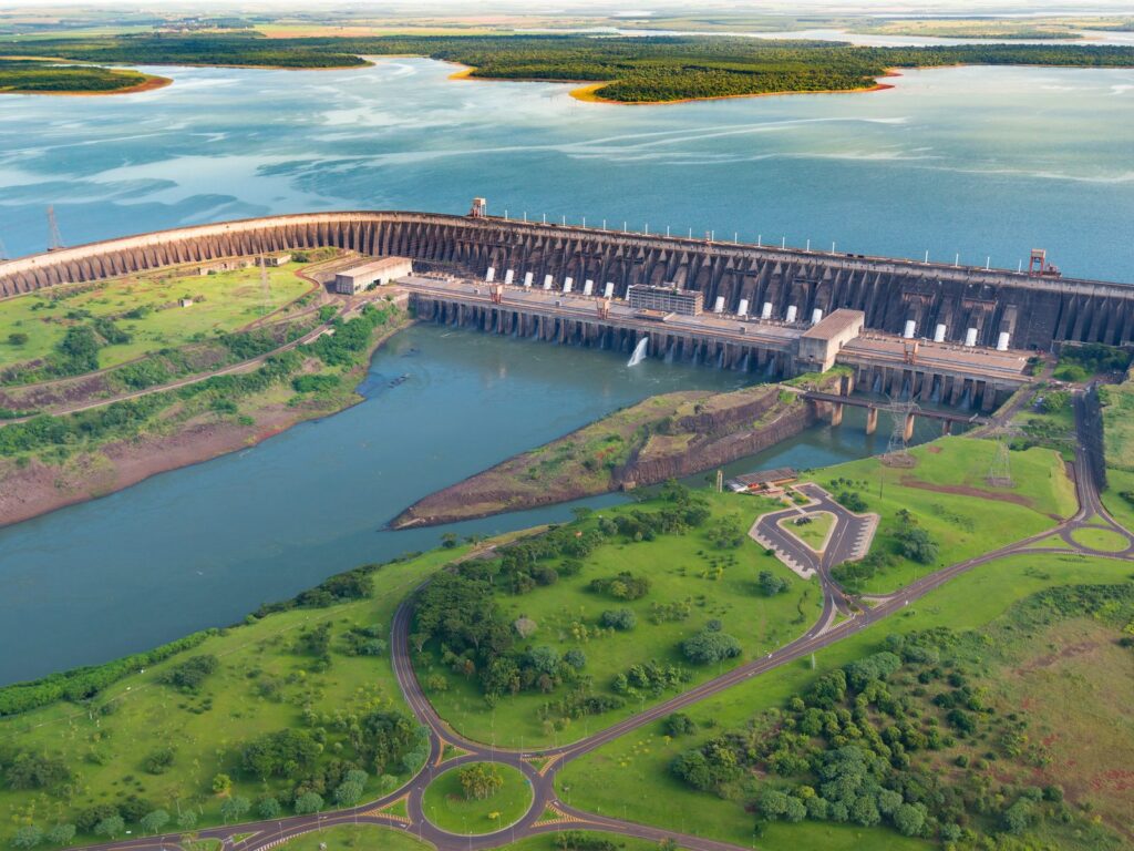
Brazil is home to one of the largest freshwater reserves on the planet, but water is unevenly distributed across the country. Deforestation and land cover change are altering the water cycle and the water availability to people, agriculture, and ecosystems.
Energy
Hydropower is the backbone of Brazil’s largely renewable electricity supply. It depends on river flows and reservoir storage, and evaporation from reservoir surfaces is an important part of the water balance of this green energy.
Agriculture & Food
Brazil is a global agricultural producer. Croplands and irrigation continue to expand, and irrigated agriculture already accounts for about half of all water withdrawals in the country (ANA).
A Water–Energy–Agriculture Nexus
Built for Agricultural Water Management & Climate Resilience.
In Brazil, water, energy, and food systems are tightly linked, and becoming increasingly complex in a changing climate. Managing them together is key to building climate resilience.
These sectors rely on the same rivers, reservoirs, and aquifers, and during droughts their demands compete directly. Climate projections indicate that this pressure will grow in the coming decades, as many areas inBrazil becomes drier (see Why OpenET Data Is Needed in Brazil).
Evapotranspiration is where these connections become visible. ET is the water that returns to the atmosphere through evaporation from soils and open water and through transpiration by plants. It is a central part of the water balance of every river basin, irrigated field, and reservoir. Measuring ET consistently, at the scale where decisions are made, is essential for managing water across the nexus.
OpenET's First Expansion Beyond the United States
OpenET-Brazil is the first international expansion of OpenET. It builds on a long-standing partnership: the Federal University of Rio Grande do Sul (UFRGS) has been a member of the OpenET consortium since its early years, while researchers from the Institute of Hydraulic Research (IPH) at UFRGS developed geeSEBAL, one of the remote sensing based models in the OpenET ensemble.
OpenET-Brazil is developed through a cooperation agreement between the Institute of Hydraulic Research (IPH) at UFRGS and Brazil’s National Water and Sanitation Agency (ANA), with technical and scientific collaboration from the OpenET consortium and the Google Earth Engine team.

What OpenET-Brazil Delivers
OpenET-Brazil brings together three integrated components. Together, these components follow OpenET’s core principles: transparent methods, openly available data, and partnerships that build trust.
Field-scale ET data
A multi-model ensemble of satellite-based ET models, adapted and validated for Brazil, at 30-meter resolution based on Landsat imagery.
A gridded meteorological dataset for Brazil
A new dataset combining climate reanalysis and satellite precipitation with ground measurements from national monitoring networks.
Irrigation data: Sat-Irriga
Sat-Irriga, a model that combines ET, precipitation, and soil water balance modeling to estimate irrigation water use, from individual fields to continental scale.
Supporting Water Decisions Across
Brazil's Diverse Landscapes
From the irrigated rice fields of southern Brazil to the expanding agricultural frontier of the Cerrado and the tropical forests of the Amazon, OpenET-Brazil data can inform decisions on a wide range of water challenges.
Key Applications:
Monitoring Irrigation & Managing Agricultural Water Use
Field-scale data on how much water irrigation uses, how much crops need, and how much water is available.
Building Resilience to Drought
Consistent ET records to track crop water stress and anticipate drought impacts on water supply.
Tracking Cropland Expansion & Intensification
Insight into how new cropland and multiple cropping seasons change water demand.
Measuring Open-Water Evaporation
Satellite-based estimates of the water lost from reservoirs and lakes that supply cities, irrigation, and hydropower and sustain aquatic life.
Understanding Land Cover Changes & the Water Cycle
Decades of satellite ET reveal how forest loss, and forest regeneration, reshape water and carbon cycling in the Amazon and the Cerrado.
Understanding Wetland Evaporation
Long-term, field-scale ET data to understand water losses in the Pantanal and other Brazilian wetlands.
OpenET-Brazil Timeline
OpenET-Brazil is being developed in phases, from science to operations.
Development
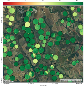
Model development, calibration, and validation, including the development of the gridded meteorological dataset for Brazil.
Data Production
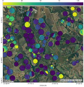
Data production and applications across Brazil.
Public Release
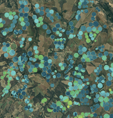
Expected public release of OpenET-Brazil ET data and Sat-Irriga estimates of irrigation water use at field scale.
Learn More About OpenET Science
Data Methods
Information about the models, input datasets, and compute resources used by OpenET.
Accuracy & Known Issues
Field-scale accuracy assessments and known issues that impact OpenET data.
Literature & Research
Browse published papers about OpenET data and associated research.
Stay Informed
Sign up for the OpenET newsletter to receive updates on OpenET-Brazil as the project moves toward public release.